GEOGRAPHY OF THE YORKSHIRE DALES Delve deeper into the landscapes
With Mark Reid FRGS
Fellow of the Royal Geographical Society (FRGS)
Accredited Practitioner of the Institute for Outdoor Learning (APIOL)
Author of ‘The Inn Way’ guidebooks.
Hill and Moorland Leader & Mountain Leader
GEOGRAPHY OF THE YORKSHIRE DALES
Spend the day in the Yorkshire Dales with Mark Reid FRGS, learning about the physical and human geography of this wonderful area.
We’ll explore the physical, human and environmental geography of the Yorkshire Dales on a 8 mile walk, from the rocks beneath our feet and the effects of glaciation and erosion to settlement patterns, place names, farming and climate change.

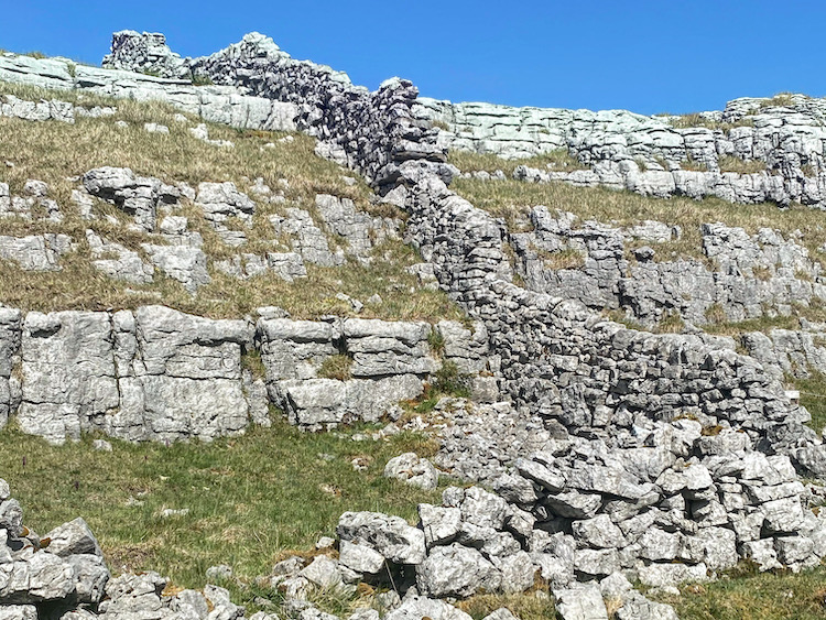
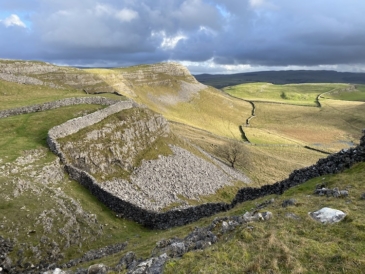
- Discover the physical geography of the Yorkshire Dales – Great Scar Limestone, Yoredale Series and Millstone Grit.
- Explore the rich history of human settlement – Bronze Age burials, amazing Iron Age settlements, Norse farmsteads and place-names, Norman hunting forests, vast sheep walks, settlement patterns and land use.
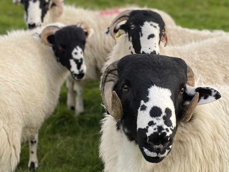
- We’ll look at drystone walls, lead mines, hay-meadows, sheep breeds… plus much more!
This Geography of the Yorkshire Dales will introduce you to the key elements that make the Yorkshire Dales such a special place, with its topography and landscapes protected as one of the Britain’s 15 National Parks. This full day’s walk will give you an overview and understanding of the Yorkshire Dales, how it was formed and shaped, and what makes it so special.
If you love the beauty of the Yorkshire Dales, then you’ll enjoy our Geography of the Yorkshire Dales field study trip.

Mark Reid has walked almost all of the paths, tracks, lanes, hills and fells in the Yorkshire Dales over the past 30 years. Mark has a Geography Degree from the University of Lancaster, is a Fellow of the Royal Geographical Society (FRGS) and has also written 17 walking books, including 6 books about the Yorkshire Dales. Mark wants to share his passion and knowledge of the Yorkshire Dales with you!

OUTLINE OF THE FIELD STUDY DAY
9:30am: Meet at a village car park in the Yorkshire Dales
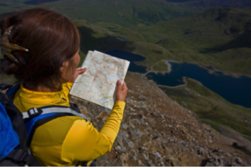
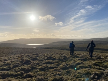
9:30am – 4:30pm: Full day’s guided walk in the Yorkshire Dales, looking at the physical and human geography along the way. The walk will cover around 8 miles over the day, with plenty of rest stops and time to admire the explore and admire the views. The walk will include paths across farmland, valleys, riversides, woodland, moorland, hills and fells, with some rough, uneven and wet ground in places as well as some ascents and descents. We may experience adverse weather conditions, which often adds to the experience.
4:30pm – 5pm: De-brief back at the village


This day has been recognised as CPD for members of the Mountain Training Association (1 point)